About Cities
Learn to recognize the world's major cities from satellite imagery. From the distinctive grids of New York City to the sprawling density of Tokyo, each city has unique patterns, geographical features, and urban layouts visible from space.
This mode features major cities from every continent, representing diverse urban planning styles, climates, and geographical settings.
Why Learn Cities from Satellite View?
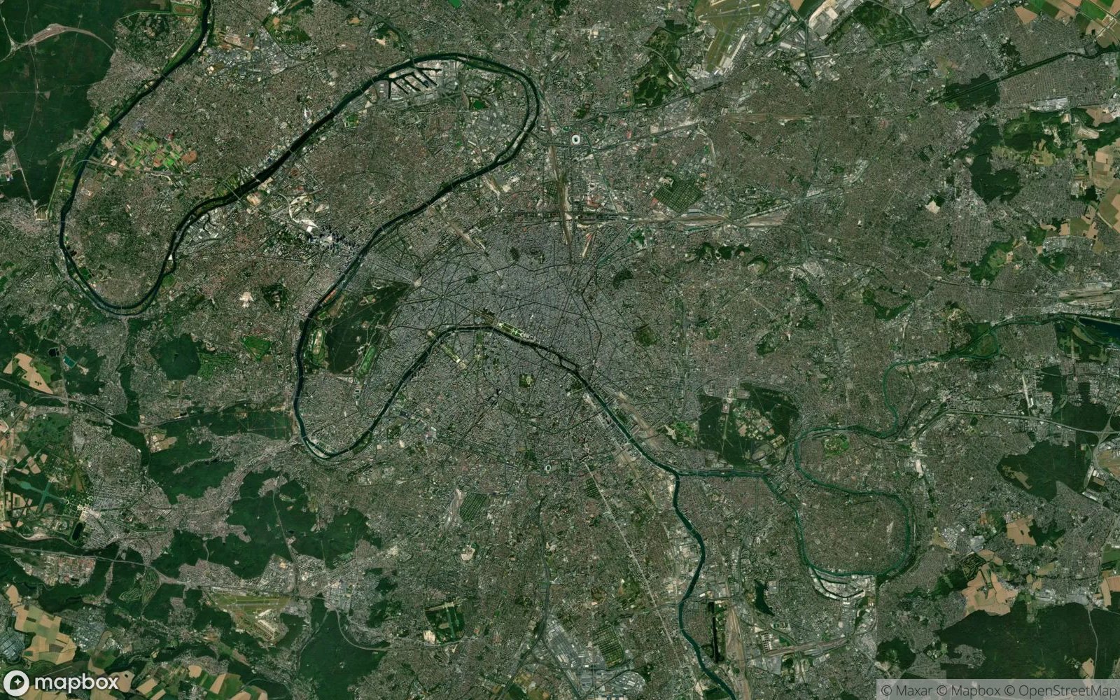
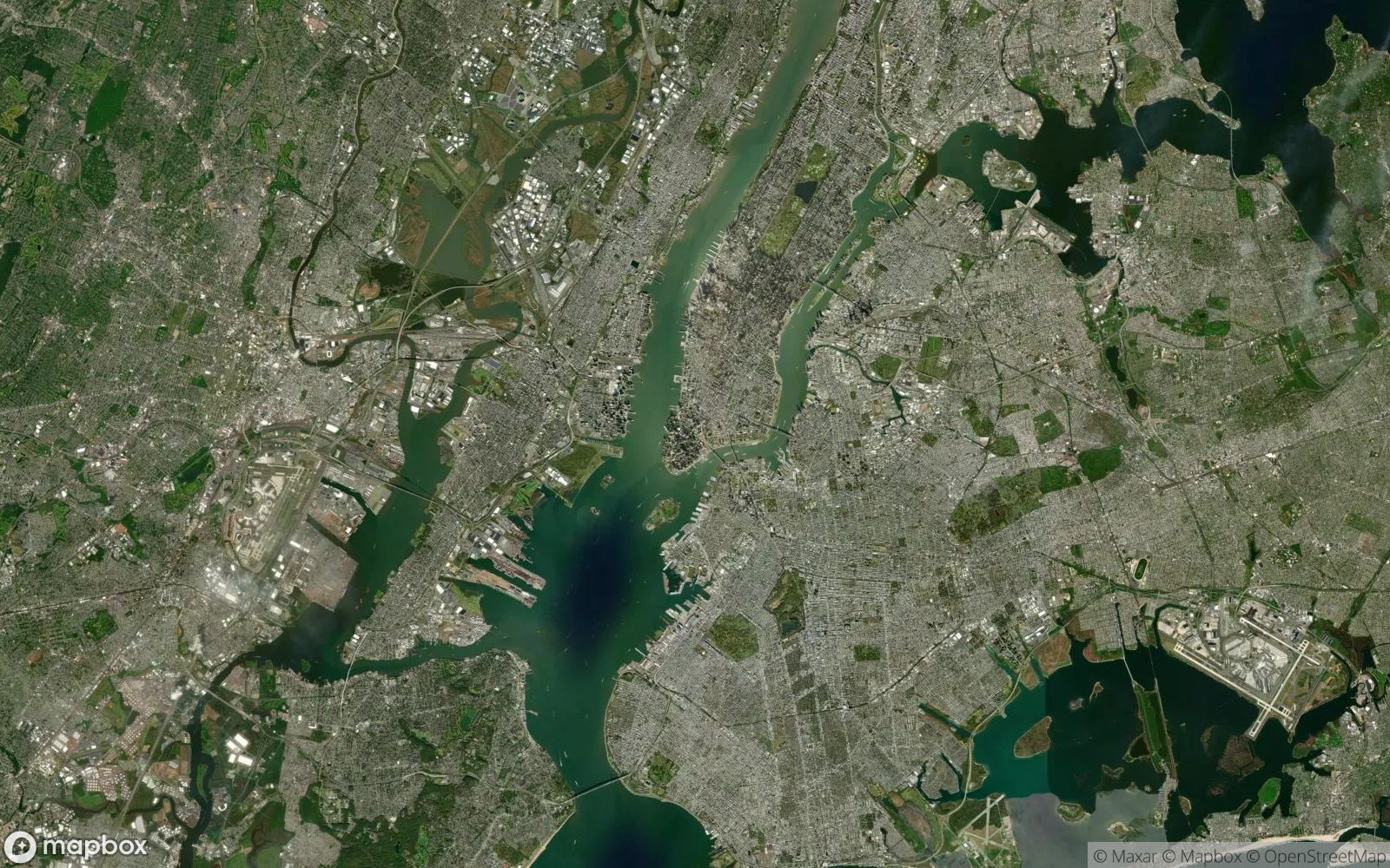
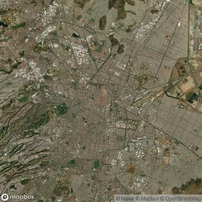
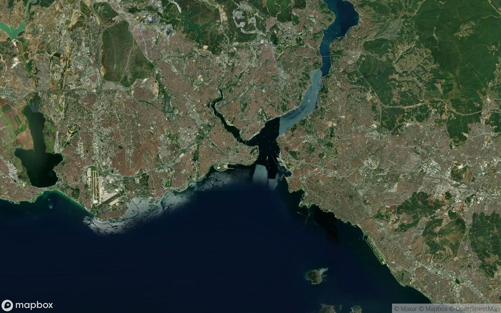
Understanding cities from a satellite perspective offers unique insights into urban planning, population distribution, and human geography. Each city tells a story through its layout—from the rigid grid system of Manhattan that reflects 18th-century planning to the organic, meandering streets of medieval European cities like Prague or Istanbul.
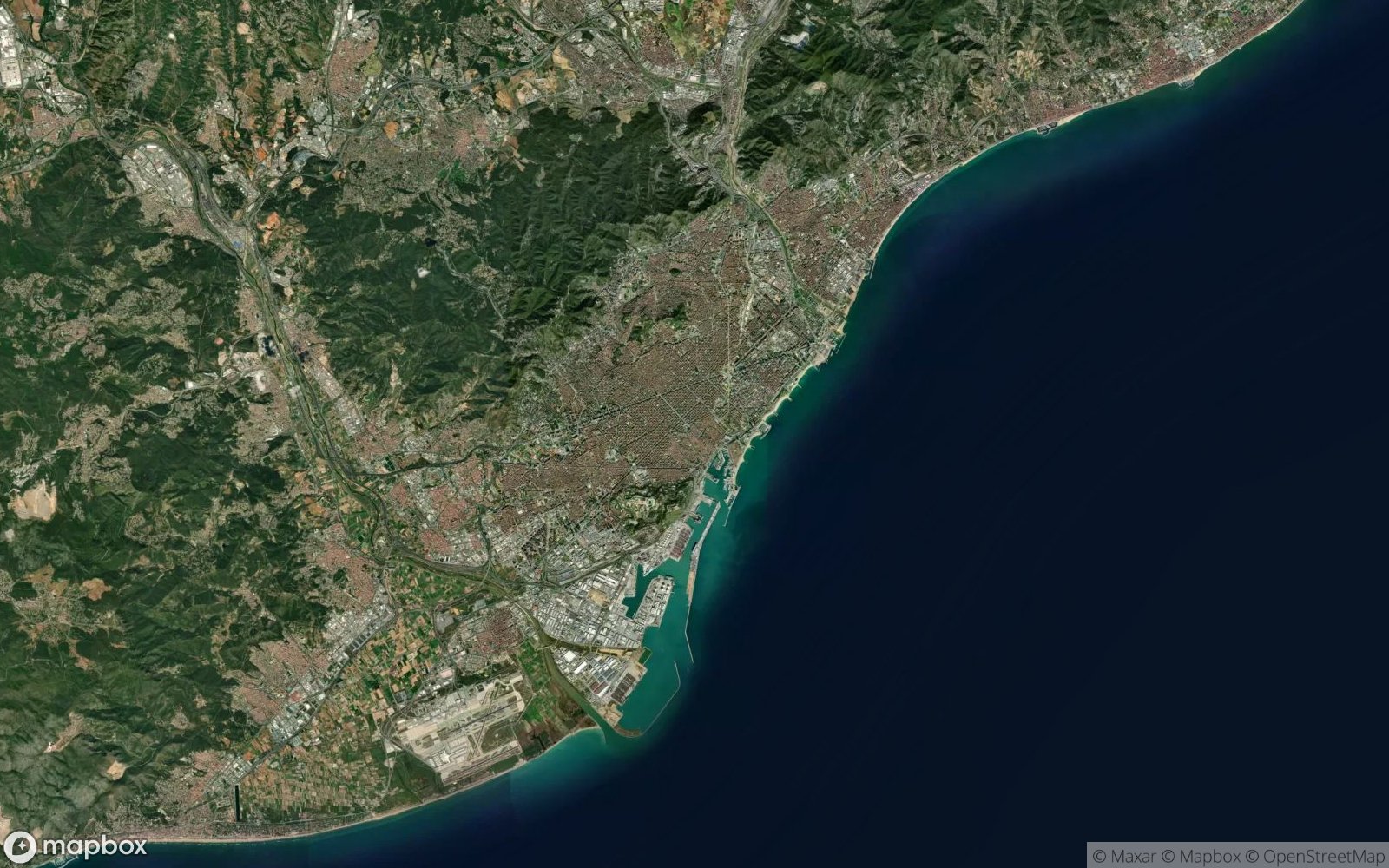
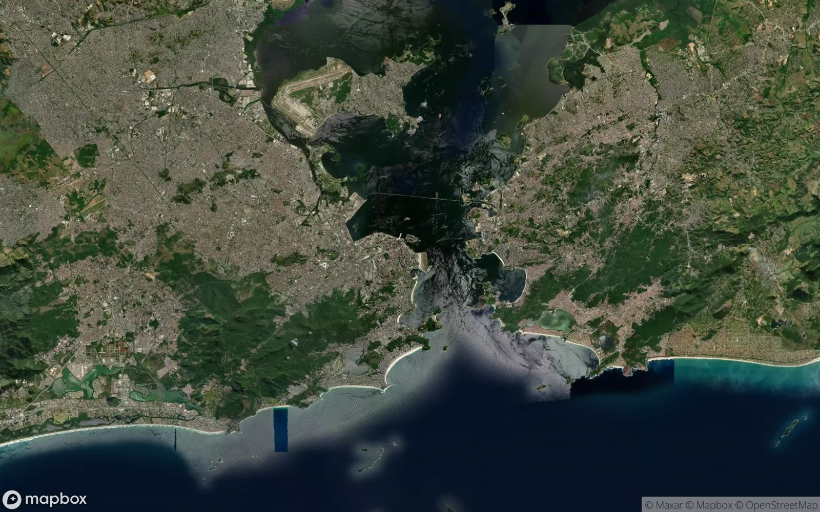
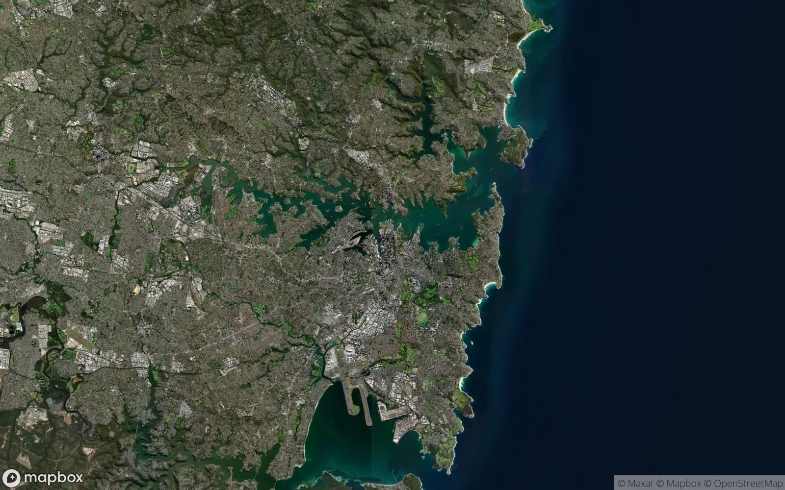
Learning to identify cities from above develops crucial geographic literacy skills. You'll recognize how geography shapes urban development: coastal cities like Sydney sprawl along natural harbors, while desert metropolises like Phoenix expand in geometric patterns across flat terrain. These patterns reveal cultural priorities, historical constraints, and modern planning philosophies that define how billions of people live today.
This skill also enhances your understanding of global connectivity. Major cities serve as economic and cultural hubs, and recognizing them helps you grasp international trade routes, transportation networks, and regional influence zones. Whether you're a student of geography, urban planning enthusiast, or simply curious about our world, satellite city recognition builds visual literacy that translates to better map reading and spatial awareness.
What You'll Discover
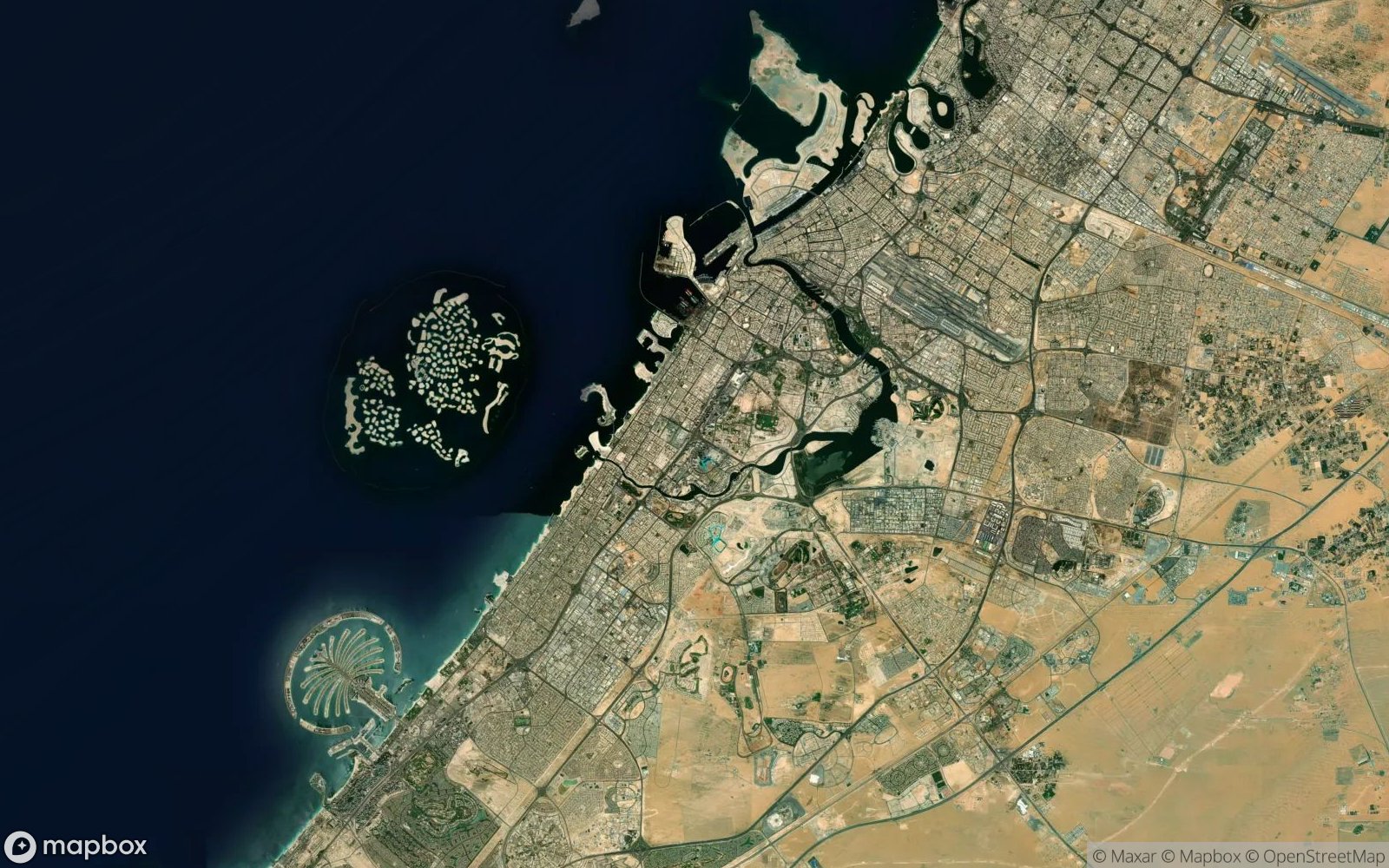
As you explore cities from above, you'll learn to identify distinctive urban signatures. Grid patterns versus organic growth reveal planning history—American cities often display geometric layouts, while European and Asian cities show centuries of gradual expansion. You'll recognize how water features like rivers, harbors, and lakes shape city boundaries and create iconic waterfront districts.
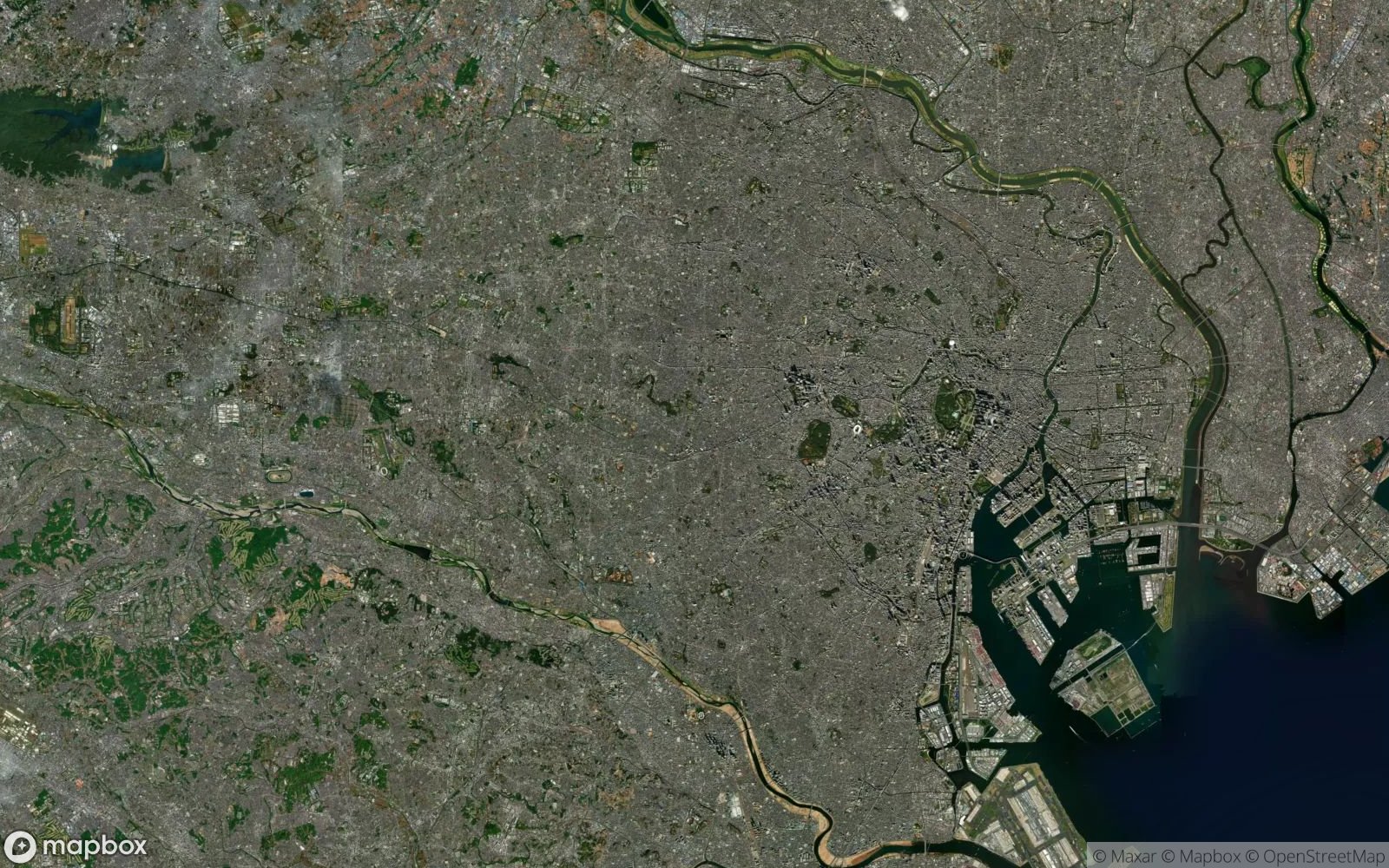
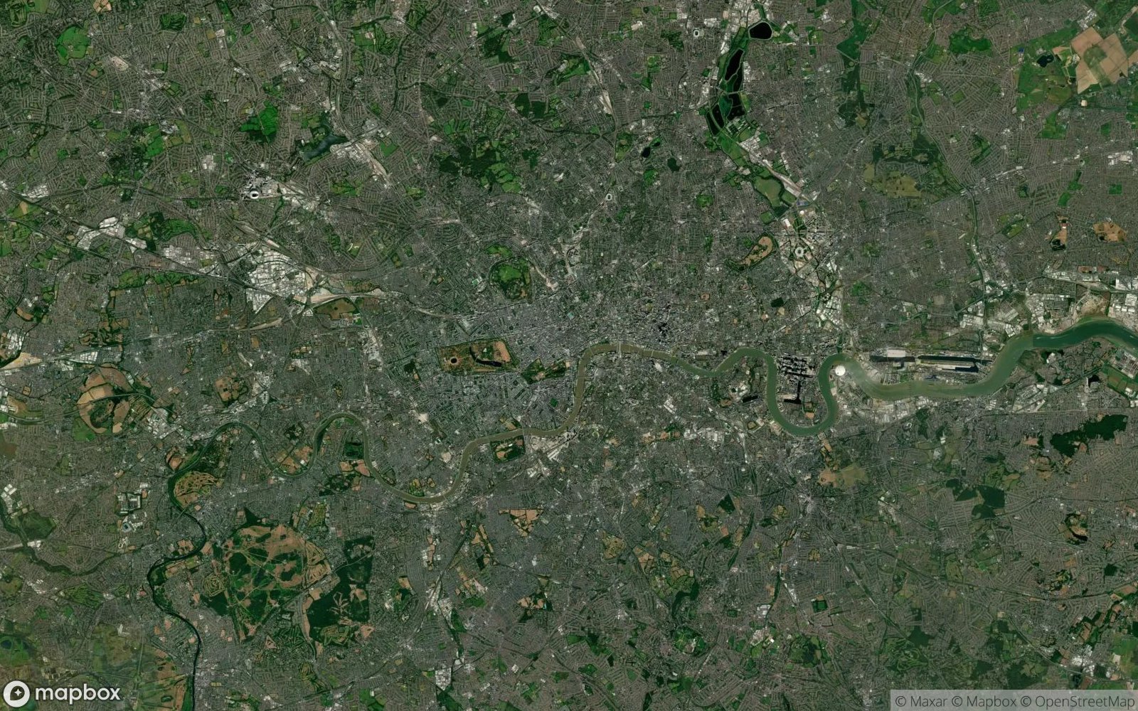
Green spaces become navigation landmarks: Central Park's rectangular oasis in Manhattan, Hyde Park's sprawling presence in London, or the Bois de Boulogne anchoring western Paris. Transportation infrastructure tells stories too—the Périphérique ring road encircling Paris, Tokyo's dense rail network visible as thin lines, or Los Angeles' sprawling freeway interchanges.
You'll discover how density patterns vary globally: the compact high-rises of Hong Kong and Singapore contrasting with the low-density suburban sprawl of American sunbelt cities. Each city's unique relationship with its landscape—mountains, coastline, or plains—creates recognizable patterns that become easier to identify with practice.
Featured Cities
...and many more!
Tips for Identifying Cities
- Look at street patterns: Grid systems vs. organic layouts reveal planning history
- Check water features: Rivers, harbors, and coastlines are key identifiers
- Observe green spaces: Major parks like Central Park are highly visible
- Notice urban density: Building concentration and height create unique signatures
- Examine transportation: Highway systems and airport locations are distinctive
- Study the surroundings: Mountains, water bodies, and nearby landmarks help
- Consider city shape: Geographic constraints create recognizable boundaries
Ready to Test Your Geography Knowledge?
Can you identify all the major cities?
Play Cities Quiz