About Chichen Itza
Chichén Itzá was a major focal point in the Northern Maya Lowlands from the Late Classic (c. AD 600–900) through the Terminal Classic (c. AD 800–900) and into the early portion of the Postclassic period (c. AD 900–1200). The site exhibits a multitude of architectural styles, reminiscent of styles seen in central Mexico and of the Puuc and Chenes styles of the Northern Maya lowlands.
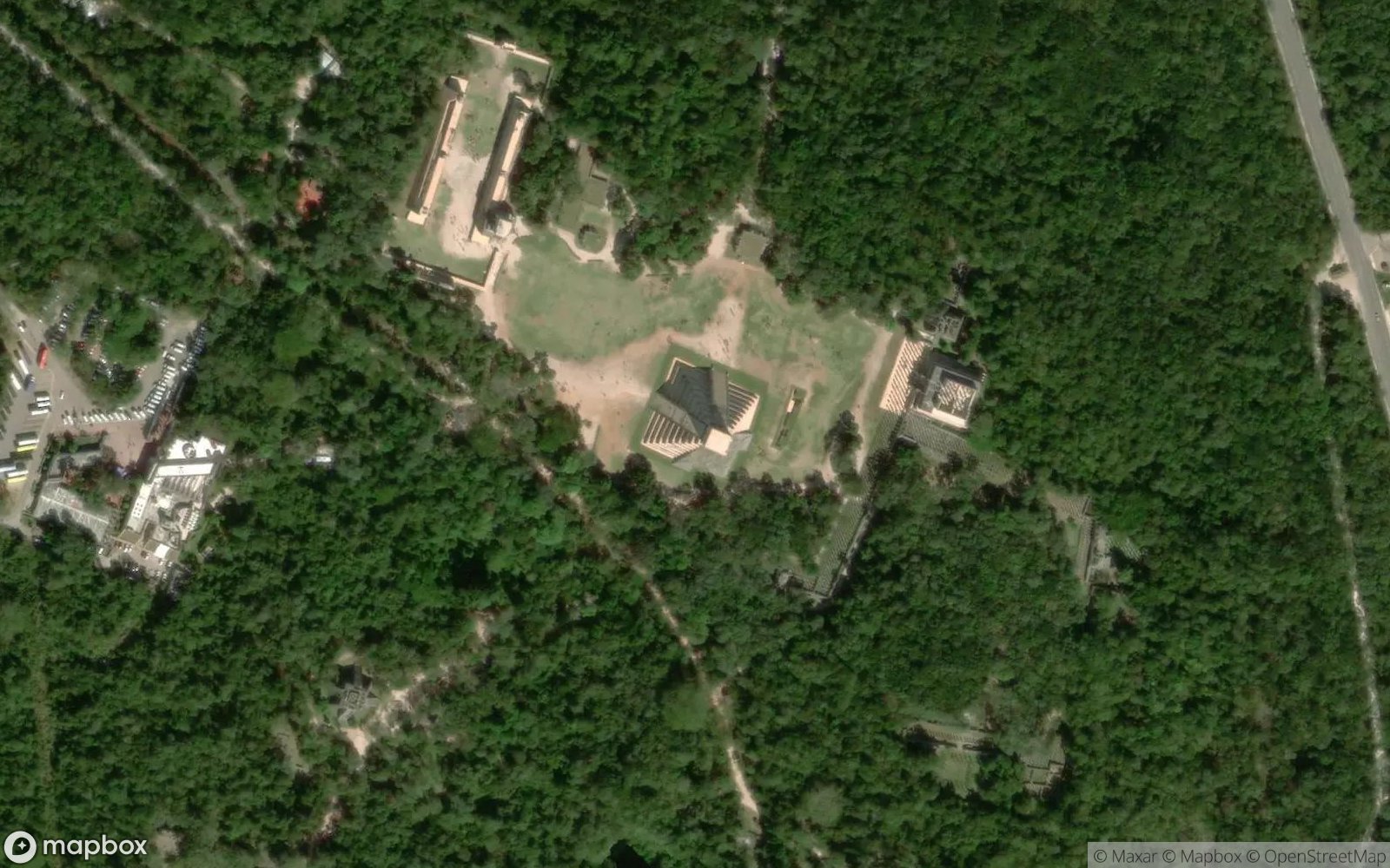
The city was built by the Maya people of the Terminal Classic period. The archaeological site is located in Tinúm Municipality, Yucatán State, Mexico. Chichén Itzá was one of the largest Maya cities and it was likely to have been one of the mythical great cities, or Tollans, referred to in later Mesoamerican literature. The city may have had the most diverse population in the Maya world, a factor that could have contributed to the variety of architectural styles at the site.
Dominating the center of Chichén Itzá is the Temple of Kukulcán (the Maya name for Quetzalcoatl), often referred to as "El Castillo" (The Castle). This step pyramid demonstrates the accuracy of Maya astronomy. Ideally aligned, specifically on the spring and autumn equinoxes, the Play of sunlight and shadow creates the appearance of a snake descending the steps to the carved heads at the base.
Play Landmarks Quiz 📖 Read More 🗺️ Google Maps 📘 Landmarks Guide