About Eiffel Tower
The Eiffel Tower (French: Tour Eiffel) is a wrought-iron lattice tower on the Champ de Mars in Paris, France. It is named after the engineer Gustave Eiffel, whose company designed and built the tower. Locally nicknamed "La dame de fer" (French for "Iron Lady"), it was constructed from 1887 to 1889 as the centerpiece of the 1889 World's Fair.
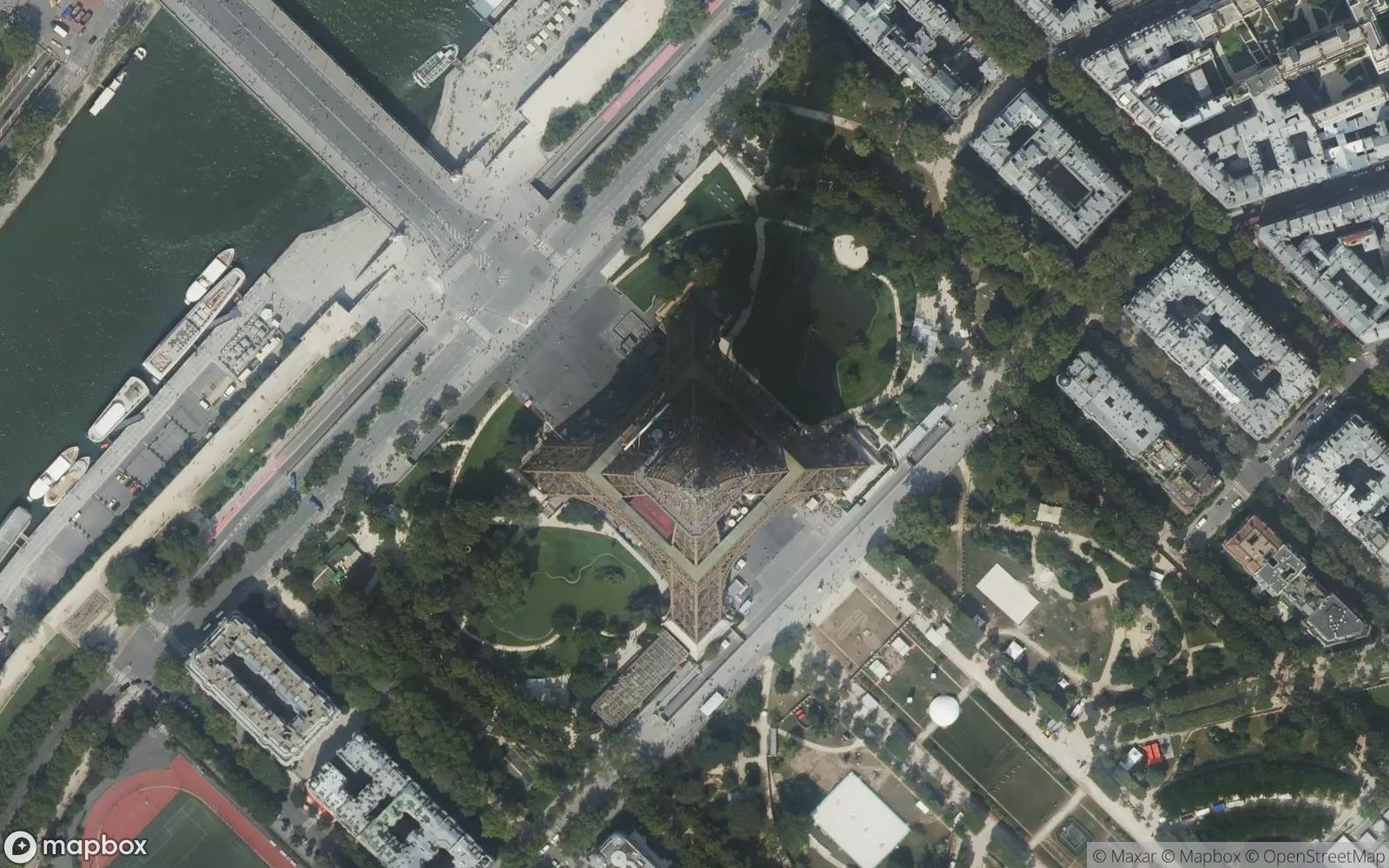
Current height: 330 metres (1,083 ft), about the same height as an 81-storey building, and the tallest structure in Paris. Its base is square, measuring 125 metres (410 ft) on each side. During its construction, the Eiffel Tower surpassed the Washington Monument to become the tallest man-made structure in the world, a title it held for 41 years until the Chrysler Building in New York City was finished in 1930.
Originally intended as a temporary structure for 20 years, it was saved by its scientific utility, particularly for wireless telegraphy. Today, it is the most-visited paid monument in the world. The tower has three levels for visitors, with restaurants on the first and second levels. The top level's upper platform is 276 m (906 ft) above the ground – the highest observation deck accessible to the public in the European Union.
Play Landmarks Quiz 📖 Read More 🗺️ Google Maps 📘 Landmarks Guide