The Hollowquill Mapmaker Bench

From the highest mountain to the smallest cobblestone

Pull up a stool. I'm Inkbeard Hollowquill, and this is my bench. Tell me who lives in your world and what kind of land they share, and I'll raise the mountains, send the rivers to the sea and settle each people where they like to live. Their nations, towns and roads follow.

Then open any corner of the map in detail, read a town's history, walk its plan and watch it grow in 3D, house by house.

Drawing the world…
Open in the World Viewer
A new world

Who lives in this world?

Tick the peoples who share it. Each one looks for the land it likes: dwarves the hills, elves the deep forests, sandkin the hot river valleys. Each homeland grows into nations.

Homelands each

First the continents, then the valleys, then the streets

Each level is made from the one above it, so the same river, coast and road appear at every scale.

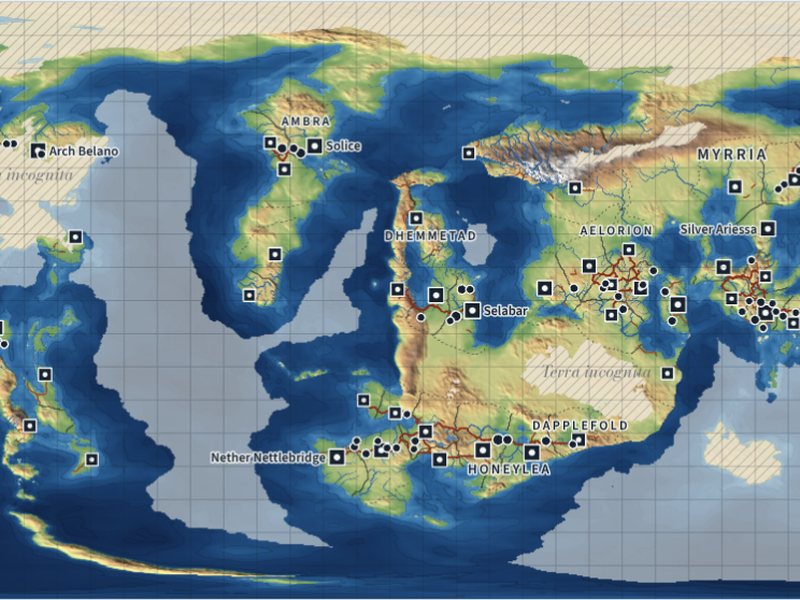
  1. World map with continents, realms and towns

    World about 40 km a cell

    Plates raise the mountains, winds carry the rain, rivers find the sea. Peoples settle, found towns, draw borders and build roads.

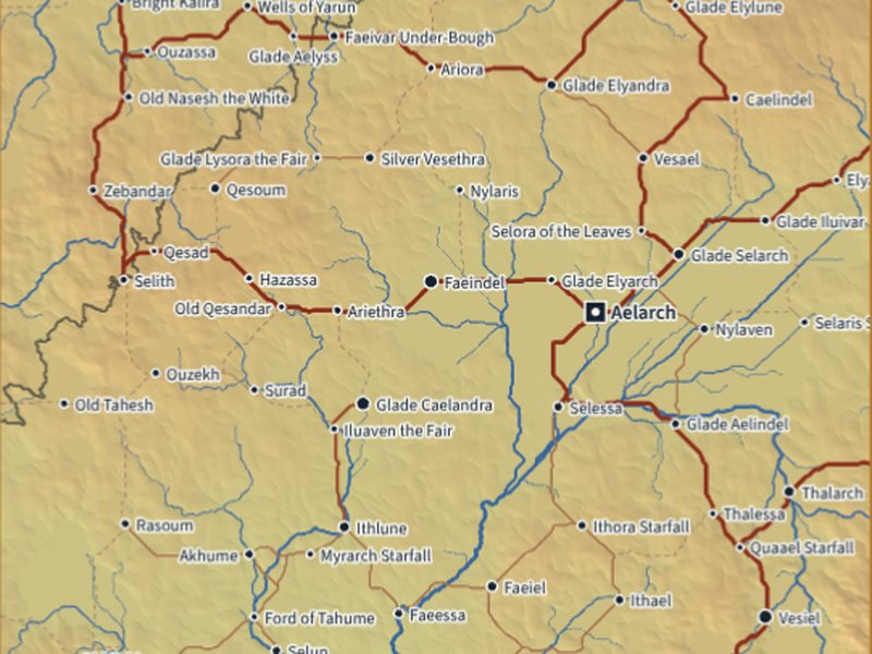
  2. A region with rivers, roads and towns

    Region about 2 km a cell

    Click a square of the map to open it in detail: every river, lake, road and town traced again at a finer scale.

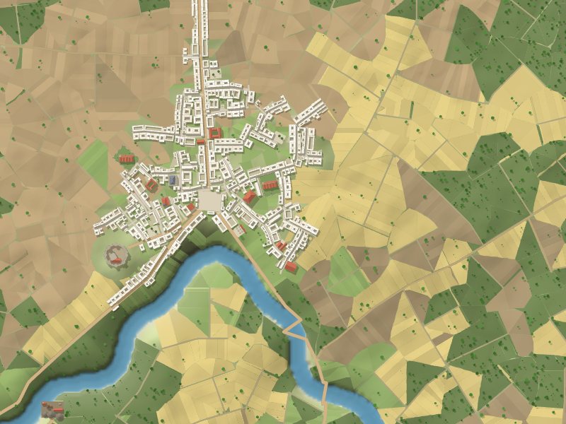
  3. A town plan with its river, fields and walls

    Town a 2 km sheet

    The town on its own land: its river, roads, fields, walls and districts, with its trades and history.

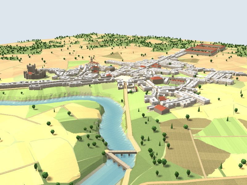
  4. A town grown in 3D among its fields

    Town in 3D house by house

    The town grows over the years, street by street and household by household, until it holds its people.

Bring it with you to the board

Everything you see can be saved for your notes, your handouts or your own maps.

Map images
Any layer of the world or a region as a PNG: relief, climate, biomes, realms.
Heightmap
A greyscale heightmap for 3D tools and terrain editors.
GIS package
GeoTIFF rasters and GeoJSON lines and areas for QGIS or other map software.
Town plans
Each town's map as an image, and its layout as a file the 3D generator can open again.